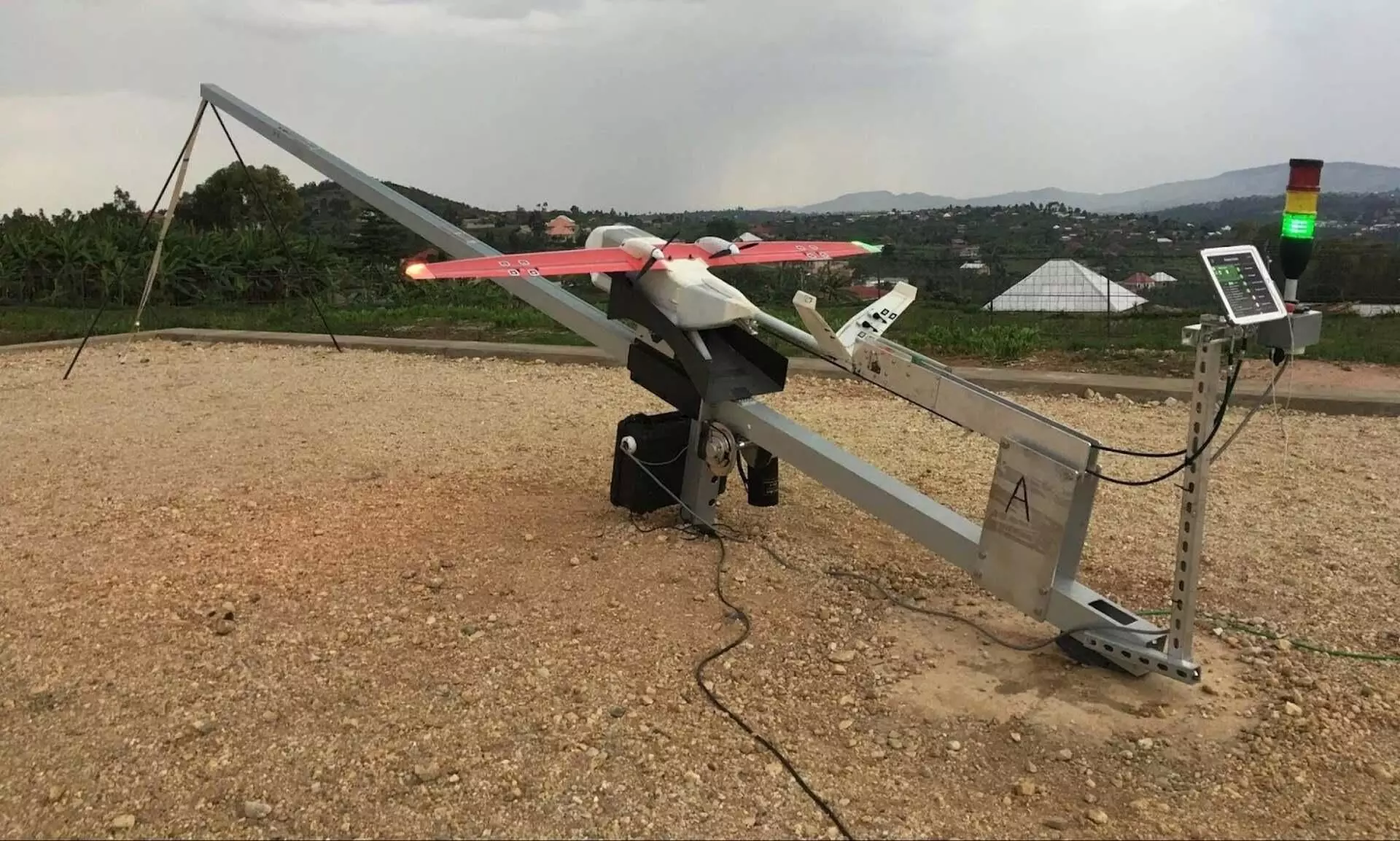
Why Zipline could become the best source of weather forecasting

“When we’re at scale around the world, we could be the best source of weather forecasting data for every country. This type of weather data will not only be useful for Zipline, but for everyone.”
These are the words of Zipline CTO Keenan Wyrobek from a recently published article of the drone company which explains how and why Zipline collects real-time weather data from an unexplored portion of the airspace.
When Zipline launched in Rwanda in 2016, bad weather meant delays in critical deliveries of blood for emergencies. Rwanda’s severe, unpredictable weather created situations where flight operators, ready to launch a Zip, could see a storm gathering over the horizon while doctors were waiting on supplies.
Zipline engineers needed data about the airspace where Zips fly but no one had the data they needed. Zipline engineers had to build a safety system that both collected new weather data and enabled Zips to complete deliveries. In the process of building it, Zipline has created what could be the weather prediction system of the future.
Besides navigating weather shaped by terrain, Zips have to avoid an extreme weather event called a gust front. Gust fronts happen the moment thunderhead forms, and massive, 50-mph updrafts and downdrafts can force aircraft to the ground.
Zipline hired John Celenza who was instrumental in creating one of the best meteorological forecasting tools, Weather Underground. He’s also a world-class software engineer.
John Celenza
Celenza began taking third-party weather satellite imagery of Rwanda and mapping it against data collected from Zipline drones. “We learned the mathematical relationship between the images we saw on the satellites and the presence of high winds where Zips fly, closer to the ground,” he says. “With that, we could forecast maps with reliable information about wind speed, based solely on the satellite picture.”
With this tool, Zipline could safely keep drones in the air that otherwise would have been grounded and its weather team is also continuing to make the system more precise.
“Given just how timely and local we are, Zipline could usher in a new generation of forecasting compared to what’s done today,” Wyrobek says. “We will adjust flight paths in real time to avoid gust fronts, fly a few kilometers around them, and get back on course.”
The article also reads, “Just like Zipline built a predictive tool for wind and rain, it could build one for any number of weather conditions that affect flight, and the rest of us on the ground.”
The article was orginally published on Zipline website.

